Universal access to the world’s best education.
With the rapid economic development, environmental pollution is serious. It brings great threat to the social sustainable development and the health of human beings. Environmental protection is complex and dynamic. It involves spatial information from multi-sectoral, multi-region and multi-field and a lot of data processing. An Effective environmental protection information system is needed so that many factors hidden in the complex relationships will become clear and visually seen. Using advanced information technology, environmental data is stored, transmitted, processed and analyzed in order to achieve scientific management.
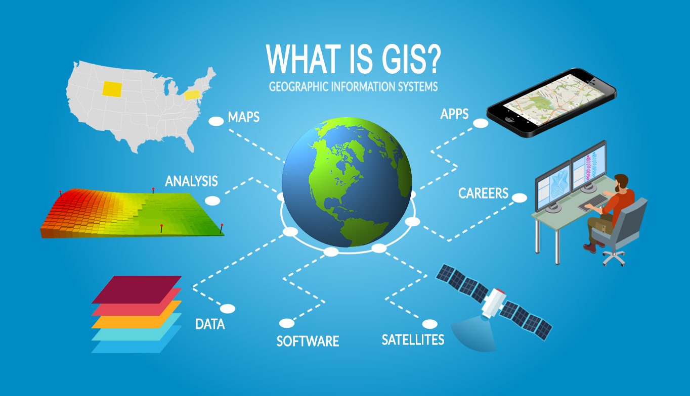
Geographic information system (GIS) is a new technology emerging with the development of geographical science, computer technology, remote sensing technology and information science. It is the computer information system that can collect, manage, analyze and visualize space data. According to actual needs, GIS combines location and associated attribute information and shows to the user truly and illustrative. The spatial information of environmental protection is very large. Management and analysis of spatial information is the advantage of GIS. Therefore, GIS is the ideal choice to a government department in pollution monitoring and environmental resources protection.
Environmental monitoring is the process of determining the various signs data of environmental quality. It is divided into three sorts those are research monitoring, surveillance monitoring and particular purpose monitoring. Its mission is to identify and test the contaminants composition in the environmental sample, and to study the nature, composition and structure of the environmental quality within a certain historical period and a certain space. So that we can test and judge if the quality of the environment is in compliance with environmental quality standards set by the state and determine the pollution caused by pollutants.
The objective of this programme is to make the participants:
08 - 10 June 2021